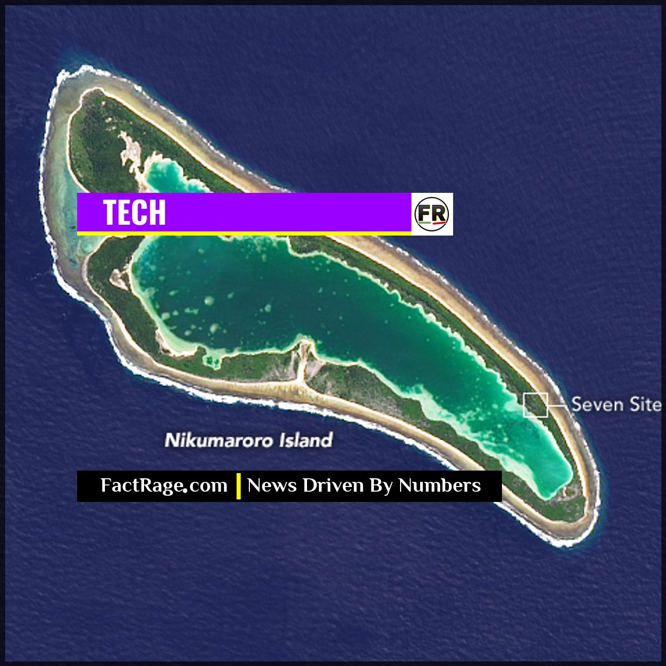
NIKUMARORO ISLAND – A new high-tech search for Amelia Earhart’s lost Lockheed 10-E Electra is leveraging advanced deep-sea robotics to scan the Pacific floor near this remote, uninhabited atoll, reigniting one of the 20th century’s most enduring mysteries.
- New Expedition – South Carolina-based exploration company Deep Sea Vision recently completed a search using a state-of-the-art autonomous underwater vehicle (AUV) and captured a sonar image that may be the lost aircraft.
- Advanced Technology – The search relies on a HUGIN 6000 AUV, a sophisticated underwater drone built by Norway’s Kongsberg Gruppen ASA, which can operate at depths of nearly 20,000 feet and map the seabed with high-resolution sonar.
- The Nikumaroro Hypothesis – The search area is guided by a long-standing theory that Earhart and navigator Fred Noonan, low on fuel, landed on the reef of Nikumaroro (then Gardner Island) and survived for a short time.
The quest to solve the 1937 disappearance of Amelia Earhart has long captured the public imagination. Now, the focus is shifting from historical records and speculation to the stark, dark reality of the deep ocean, where cutting-edge technology is the primary tool of discovery.
What Makes This Search Different From Past Efforts?

Previous searches for Earhart have covered vast swaths of the Pacific, but the current effort by private company Deep Sea Vision is notable for its technological focus and precise target area. The team, led by former U.S. Air Force intelligence officer Tony Romeo, invested in a $9 million piece of equipment: the HUGIN 6000 AUV.
This isn’t a remote-controlled submarine tethered to a ship. The 16-foot AUV operates autonomously, following a pre-programmed search grid for hours on end. It navigates the crushing pressures of the deep sea—exploring depths of over 16,000 feet—while using sophisticated side-scan sonar to paint a detailed picture of the ocean floor. It was during a 100-day, 5,200-square-mile search that the drone returned a grainy but intriguing sonar image showing an object roughly the size and shape of Earhart’s twin-tailed aircraft. The critical question now is what, exactly, did the sonar see?
How Does the Technology Pinpoint a Potential Wreck?
The HUGIN 6000 AUV is a product of Kongsberg Gruppen ASA, a Norwegian tech conglomerate specializing in maritime and defense systems. Its primary advantage is its ability to “mow the lawn,” a search pattern where it systematically covers a grid just above the seabed. This proximity provides a much higher resolution than sonar systems operating from a surface vessel miles above.
The side-scan sonar emits fan-shaped acoustic pulses, or “pings,” out to each side. The system then measures the time it takes for the echoes to return and their intensity. Hard objects like rock or metal produce strong returns, while soft sediment produces weaker ones. These returns are stitched together to create an image, not unlike a black-and-white satellite map. It was this technology that identified the plane-shaped anomaly resting on a smooth, sandy bottom, a feature that makes it stand out from the surrounding geology.
Why Nikumaroro? The Theory Guiding the Grid Search
The expensive technology isn’t being deployed randomly. The search is centered around a decades-old scientific hypothesis known as the “Nikumaroro” or “castaway” theory. Promoted heavily by The International Group for Historic Aircraft Recovery (TIGHAR), this theory posits that Earhart and Noonan missed their target, Howland Island, but spotted the flat coral reef of Nikumaroro Atoll.
According to the theory, they landed the plane on the reef at low tide and sent distress calls for several days. Eventually, rising tides and surf would have washed the lightweight aluminum aircraft off the reef and into the deep water nearby. Proponents point to circumstantial evidence, including radio distress calls heard in the days after the disappearance and artifacts found on the island that were possibly left by castaways. This hypothesis provides a specific, testable search area: the steep underwater slope off the island’s western reef. It is here, within that defined zone, that Deep Sea Vision focused its advanced AUV. While the sonar image is compelling, further investigation with remotely operated vehicles equipped with cameras will be required to confirm if it is indeed the lost Lockheed Electra.


