MINNEAPOLIS, MN – The National Weather Service has confirmed at least one tornado touchdown in central Minnesota following a significant severe weather outbreak that triggered numerous warnings across the state.
- Confirmed Tornado – An EF-1 tornado with peak winds of 100-105 mph was confirmed by the NWS. It touched down on May 24 near Blomkest in Kandiyohi County.
- Widespread Alerts – The severe weather system prompted the NWS to issue multiple tornado and severe thunderstorm warnings across central and southern Minnesota, affecting several counties.
- Official Guidance – State and local officials are urging residents to review their emergency plans and stay informed as the severe weather season continues.
The confirmed tornado was part of a larger, potent weather system that put communities on high alert and served as a stark reminder of the state’s severe weather potential.
What Did the National Weather Service Confirm?

Following an on-site storm survey, the Twin Cities office of the National Weather Service (NWS) officially confirmed that an EF-1 tornado occurred on the evening of Friday, May 24, 2024. The tornado tracked for 3.8 miles in Kandiyohi County, beginning just northwest of Blomkest and lifting northeast of the town.
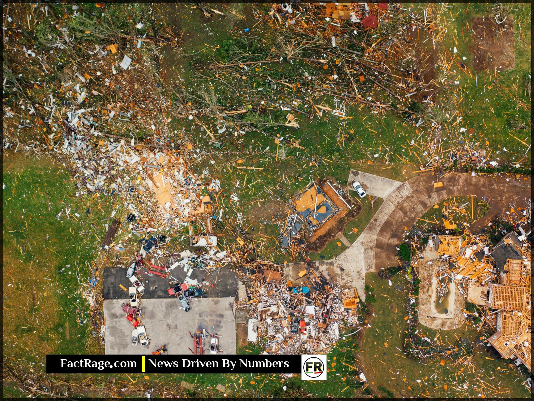
According to the NWS report, the tornado had a maximum width of 100 yards and reached peak wind speeds estimated between 100 and 105 miles per hour. The primary damage reported included destroyed farm outbuildings, uprooted trees, and damage to grain bins. There were no reported injuries associated with the tornado.
Which Areas Faced the Highest Risk?
While the touchdown was confirmed in Kandiyohi County, the parent storm system created a wider threat. Multiple tornado warnings were issued for several counties in central and southern Minnesota as the line of storms moved through the region. Counties placed under alerts at various times included Kandiyohi, Meeker, Stearns, and Swift.
Forecasters tracked multiple rotating supercells within the storm system, prompting the aggressive issuance of warnings to give residents time to seek shelter. The event highlights how a single weather system can pose a severe threat across a broad geographic area. What made this system particularly dangerous was its speed and the presence of multiple potential tornado signatures on weather radar.
How to Prepare for Minnesota’s Severe Weather Season
This event serves as a critical reminder for residents to be prepared. The Minnesota Department of Public Safety’s Division of Homeland Security and Emergency Management (HSEM) provides comprehensive resources for tornado and severe weather preparedness.
Key recommendations from officials include: * Have Multiple Ways to Receive Warnings: Do not rely solely on outdoor sirens. A NOAA Weather Radio and weather alerts on your mobile phone are essential. * Know Your Shelter: Identify the safest location in your home, typically a basement or an interior, windowless room on the lowest level. * Create a Plan and a Kit: Have a family communication plan and an emergency kit with water, food, a first-aid kit, and other essential supplies.


